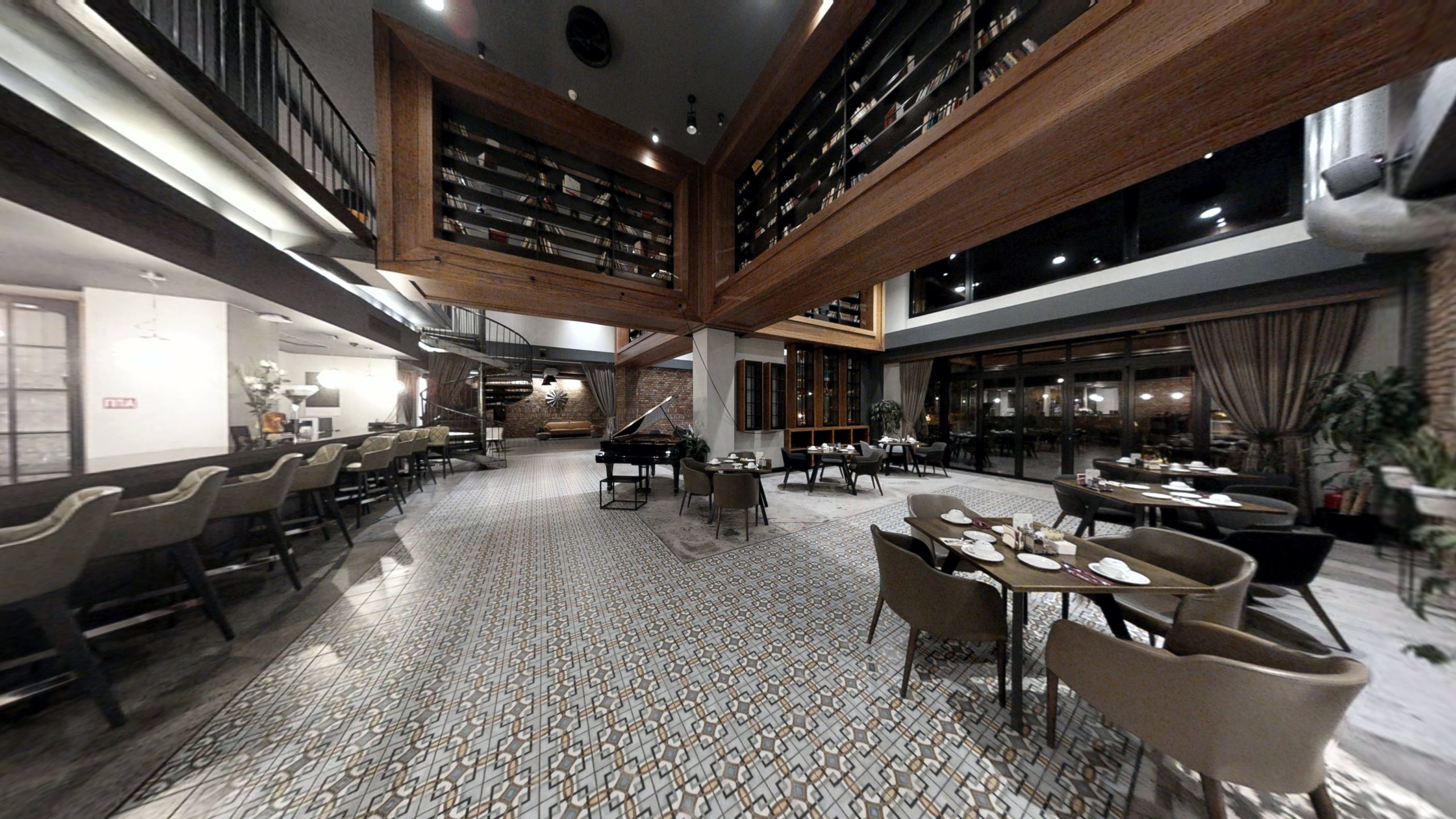
360 aerial panoramas
Visualization of objects, areas, regions with 360 aerial panoramic photography
360 terrestrial panoramas
360 panoramas of streets, roads, walking trails, bicycle trails etc…
Location mapping
Digital mapping with GPS positioning on 360 panoramic walks
Virtual signalization
Setting up virtual signs of interest for easier 360 virtual experience
Aerial mapping
Drone 360 panoramic mapping and marking of plots, paths, and territories
Marking with tags
Setting interactive information in the form of video, photo, 3D model, text, Google forms, social media posts etc.
360 tours gallery
Take a look of our 360 virtual tours gallery made by VR-port
VR-virtual walk
Experience the 360 virtual tours in VR. Our technology provides an impressive VR walk.

